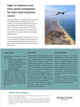
Aerial navigation for UAV with machine vision. Case study.
Aerial robots UAV navigation is an emerging technology, that could be widely applied to different business domains such as surveillance, precisive farming, and disaster relief or rescue. The main challenge is that UAV should work stably outdoor and indoor, and in GPS-denied environments (such as mountains, canvas or semi-collapsed buildings). Another challenge is using low-cost MAVs that can be easily replaced in case of breakage, damage or total loss.
From the navigation point of view, unstable and fast dynamics of air vehicles are the major difficulties for position estimation. Low-cost Inertial Navigation System IMU produces large errors and drifts, resulting in inaccurate state estimation of the six degrees of freedom (6-DoF).
We developed an absolute navigation system for a preloaded map and IMU – optical navigation based on drone machine vision SLAM algorithms, Algorithm of Morphological Correlation-Extreme Navigation System.
Read more:
New case study: How to avoid crop damage with sensor array